---
title: "The Uyuni Adventure: From Desert to Salt"
description: How the Atacama Desert shapes the future of regenerative travel. Learn how science, community partnerships, and off-grid design guide Nayara Alto Atacama.
image: https://blog.nayararesorts.com/hubfs/Screenshot%202026-10-02%20at%2010.49.29%20PM.jpg
---
[Blog](https://blog.nayararesorts.com/)
[](https://nayararesorts.com/)
SUBSCRIBE

# The Uyuni Adventure: From Desert to Salt
[Albert Ghitis](https://blog.nayararesorts.com/author/albert-ghitis-1)
Oct 2, 2026
Key Findings
9,800 km²
NASA's measured area for Salar de Uyuni, the largest salt flat on Earth.
\<40 cm
The relief across nearly the entire salt surface, excluding bedrock islands. It is among the flattest natural surfaces on Earth.
4 days
Nayara's new private journey from Hito Cajón across the Bolivian Altiplano to Uyuni, with three nights along the route.
In This Article
8 min read
[01 When the Atacama Doesn't End](https://blog.nayararesorts.com/the-uyuni-adventure-from-desert-to-salt#beyond) [02 The Lake That Disappeared](https://blog.nayararesorts.com/the-uyuni-adventure-from-desert-to-salt#lake) [03 The Flattest Place on Earth](https://blog.nayararesorts.com/the-uyuni-adventure-from-desert-to-salt#flat) [04 What Lies Beneath the Salt](https://blog.nayararesorts.com/the-uyuni-adventure-from-desert-to-salt#beneath) [05 Four Days Across the Altiplano](https://blog.nayararesorts.com/the-uyuni-adventure-from-desert-to-salt#crossing) [06 One Day on the Salar](https://blog.nayararesorts.com/the-uyuni-adventure-from-desert-to-salt#salar) [07 Two Versions of Uyuni](https://blog.nayararesorts.com/the-uyuni-adventure-from-desert-to-salt#seasons) [08 Frequently Asked Questions](https://blog.nayararesorts.com/the-uyuni-adventure-from-desert-to-salt#faq)
New: The Uyuni Adventure
## From Desert to Salt
**In short:** Nayara Alto Atacama now opens onto a private four-day journey across southwestern Bolivia. The route crosses high-altitude lagoons, geysers, hot springs, and volcanic rock before reaching Salar de Uyuni, the world's largest salt flat. Understanding what Uyuni is, the remnant of ancient lakes, a nearly level crust of salt above mineral-rich brine, makes the arrival far stranger than the photographs suggest.
The Atacama teaches you what happens when water disappears from a landscape. Uyuni shows you what it leaves behind. Between them lies one of South America's great high-altitude journeys, a passage from volcanic desert into the remains of lakes that once covered much of the Bolivian Altiplano.
IMAGE PLACEHOLDER · 3:2 HORIZONTAL · UYUNI / ALTIPLANO HERO
The New Journey
## When the Atacama Doesn't End
San Pedro de Atacama usually feels like an edge. The roads climb toward volcanoes, lagoons, and the high Andes, but eventually the journey turns back. The Uyuni Adventure does not.
Created by Nayara Alto Atacama with EPIC by Hidalgo Tours, the new program crosses at Hito Cajón and continues for four days and three nights through southwestern Bolivia to Uyuni. It can also operate in reverse. The first days move through Laguna Verde, Sol de Mañana, Laguna Colorada, Polques, Italia Perdida, and San Cristóbal before the salt flat finally appears.
That sequence matters. Uyuni is most powerful when you don't treat it as an isolated white backdrop, but as the final expression of the geology, water, volcanism, and climate that shape the entire Altiplano.
The Deep History
## The Lake That Disappeared
Uyuni is not simply a desert where salt accumulated. It is the floor of a basin that repeatedly filled and emptied as the climate of the Altiplano changed. A 121-meter scientific core recovered from the salar recorded 11 lake-sediment layers separated by 12 salt crusts, a geological ledger of wet periods and dry ones.
Research on the younger deposits identifies major paleolake phases including Tauca, which reached its high stand roughly 16,000 years ago. NASA measurements indicate that an earlier large lake system spread across tens of thousands of square kilometers. When the water retreated and evaporation won, dissolved minerals remained behind.
So the white horizon is not emptiness. It is residue: the compressed history of lakes that vanished.
IMAGE PLACEHOLDER · 4:5 VERTICAL · LAGOON / ANCIENT-LAKE TRANSITION
The Geometry
## The Flattest Place on Earth
The scale is difficult to read from ground level. NASA measurements put Salar de Uyuni at about 9,800 square kilometers. Across nearly all of that surface, excluding rocky islands, the elevation difference is less than 40 centimeters.
That improbable flatness is not merely a curiosity. Seasonal flooding helps smooth the surface, repeatedly pushing it toward a level plane. Scientists use Uyuni as a natural reference surface to calibrate satellite altimeters because few places on Earth offer anything comparable at this scale.
It also explains the mirror. When rain leaves a shallow film of water across an almost perfectly level salt crust, few contours break the reflection. Under the right conditions, the horizon stops behaving like a horizon.
Below the Surface
## What Lies Beneath the Salt
The surface looks solid and simple. It is neither. NASA research describes an upper salt unit averaging about five meters thick, while USGS studies have documented mineral-rich brines within the salar, including lithium, potassium, magnesium, and boron.
Those brines are part of the same long story. Water carried dissolved material into a closed basin. Evaporation removed the water but left the chemistry behind. Volcanic rocks and thermal systems around the Altiplano also contributed material, helping concentrate lithium in the basin.
Even the familiar polygonal ridges on dry salt flats have a hidden mechanism. A 2023 study in *Physical Review X* found that salt polygons are consistent with convection in the porous, salty ground beneath the crust: denser, saltier water sinks, fresher water rises, and the circulation helps organize salt precipitation into repeating geometric boundaries. What looks motionless is being patterned from below.
IMAGE PLACEHOLDER · 4:5 VERTICAL · SALT POLYGONS / TEXTURE
The Expedition
## Four Days Across the Altiplano
**Day 1 · Hito Cajón to Villamar.** A private welcome at the border leads into Laguna Verde, the Sol de Mañana geysers, Laguna Colorada, and a personalized lunch beside the Polques hot springs. Spend the night at Hotel Mallku Cueva.
**Day 2 · Villamar to Uyuni.** Italia Perdida's rock formations and San Cristóbal's colonial church lead toward Uyuni. After lunch at Tika, the journey reaches Hotel Palacio de Sal for the first of two nights, with spa, wellness, and private stargazing included in the program.
**Day 3 · The Salar.** Sunrise opens a full day on the salt flat: Colchani's salt artisans, perspective photography, an Apthapi lunch in the Salar, Incahuasi Island, and a wine-paired sunset.
**Day 4 · Departure.** Breakfast and a private transfer to Uyuni airport close the crossing. The itinerary can also operate in reverse, from Uyuni toward San Pedro de Atacama.
Day Three
## One Day on the Salar
By the time the expedition reaches the Salar, the landscape has already explained itself in pieces: volcanic peaks, geothermal fields, mineral lagoons, and high-altitude basins. Then the pieces disappear into white.
Nayara's program gives the salt flat a full day, not a quick stop. There is sunrise, the salt-working community of Colchani, photography on a horizon that destroys ordinary perspective, an Apthapi lunch in the middle of the Salar, and Incahuasi, a rocky island rising above the salt when access conditions allow.
At sunset, the itinerary slows again for wine and the changing light. That is the point of the extra time. Uyuni is less a single sight than a surface that keeps changing its scale, color, and meaning as the sun moves.
IMAGE PLACEHOLDER · 4:5 VERTICAL · SALAR EXPERIENCE / DINING
When to Go
## Two Versions of Uyuni
No single season is correct for Uyuni because the landscape offers two different experiences. For much of the year the Salar is dry: a white mineral plain where polygonal salt patterns stretch toward the horizon, and overland access is generally broader.
During the rainy season, typically concentrated in the austral summer, shallow water can spread across the salt and create the mirror effect. Rainfall varies, and flooding can also restrict access to places such as Incahuasi. The mirror should therefore be understood as a natural condition, not a guaranteed attraction.
Dry or flooded, the underlying fact does not change: the surface is the remains of water. One season reveals the salt it left behind. The other briefly returns the sky.
IMAGE PLACEHOLDER · 3:2 HORIZONTAL · UYUNI SUNSET / MIRROR
*The Atacama teaches you what happens when water disappears from a landscape. Uyuni shows you what it leaves behind.*
The Uyuni Adventure
## Continue Beyond the Atacama
Four days from the Chile-Bolivia border through the high Altiplano to the largest salt flat on Earth.
[Explore Nayara Alto Atacama](https://nayaraaltoatacama.com/) [Check Availability](https://nayararesorts.com/#/booking/destination/dates)
About the Author
[Albert Ghitis](https://blog.nayararesorts.com/author/albert-ghitis-1)
Digital Marketing · Nayara Resorts
Albert Ghitis leads digital marketing at Nayara Resorts, overseeing editorial, email strategy, organic social, paid social, search, and AI discovery. He also hosts Nayara Horizons: Beyond Travel. Explore the latest episodes below.
Nayara Horizons: Beyond Travel
## Explore the Podcast
Conversations about the people, places, cultures, and ideas behind Nayara's destinations.
01
Episode 1 — Understanding the Atacama: A Conversation About the Desert
[Watch →](https://youtu.be/kzQWMUk49io)
02
Episode 2 — Guardians of Rapa Nui: A Conversation with Tau Mana
[Watch →](https://youtu.be/FRPVRcUTNmk)
03
Episode 3 — The Collapse That Wasn't: A Conversation About Archaeology
[Watch →](https://youtu.be/yyvkJgEAzgc)
04
Episode 4 — The Nayara Story: A Conversation with General Manager Jairo
[Watch →](https://youtu.be/kogGcI2-pBc?si=JI-a82zE1nZODNfl)
05
Episode 5 — A Taste of Nayara: A Conversation with Gianluca
[Watch →](https://youtu.be/NuWOobuMc2k?si=g7uHgszKtOhiMekv)
06
Episode 6 — An Introduction to Wine: A Conversation with Leo
Coming Soon
07
Episode 7 — An Introduction to Cocktails: A Conversation with Leo
Coming Soon
08
Episode 8 — Below the Surface: A Conversation About Coral Reef Restoration
Coming Soon
## Frequently Asked Questions
What is Salar de Uyuni? +
Salar de Uyuni is the world's largest salt flat, covering roughly 9,800 to 10,500 square kilometers depending on the mapping source. It sits in a closed basin that once held large prehistoric lakes.
Why is Salar de Uyuni so flat? +
NASA measurements found less than 40 centimeters of relief across most of the roughly 9,800-square-kilometer salt surface, excluding bedrock islands. Repeated seasonal flooding helps maintain an exceptionally level surface.
When does Uyuni become a mirror? +
The mirror effect occurs when seasonal rain leaves a shallow layer of water across the salt crust, most often during the austral summer rainy season. Timing and coverage vary with rainfall, and flooding can restrict access to some parts of the Salar.
How long is Nayara's Uyuni Adventure? +
Four days and three nights, with one night at Hotel Mallku Cueva and two nights at Hotel Palacio de Sal. The route runs from San Pedro de Atacama to Uyuni, or in reverse.
How high does the Uyuni journey go? +
The itinerary reaches up to 4,990 meters above sea level. Nayara's fact sheet advises guests with significant medical conditions to consult a physician before travel.
Sources & Further Reading
- **Nayara Alto Atacama · The Uyuni Adventure Fact Sheet, September 2026**
- [NASA · Topography of the Flattest Surface on Earth](https://ntrs.nasa.gov/citations/20050071074)
- [NASA Earth Observatory · A Salt Bath in Bolivia](https://science.nasa.gov/earth/earth-observatory/a-salt-bath-in-bolivia-149502/)
- [Paleoclimatology, Palaeoecology · Dating of Paleolakes in the Central Altiplano](https://www.sciencedirect.com/science/article/pii/S0031018201003017)
- [Quaternary Research · 170,000 Years of Hydrologic Variation](https://www.sciencedirect.com/science/article/pii/S0033589403001327)
- [U.S. Geological Survey · Lithium-Rich Brines of Salar de Uyuni](https://www.usgs.gov/publications/chemical-composition-and-distribution-lithium-rich-brines-salar-de-uyuni-and-nearby)
- [Physical Review X · Salt Polygons and Porous Media Convection](https://journals.aps.org/prx/abstract/10.1103/PhysRevX.13.011025)
[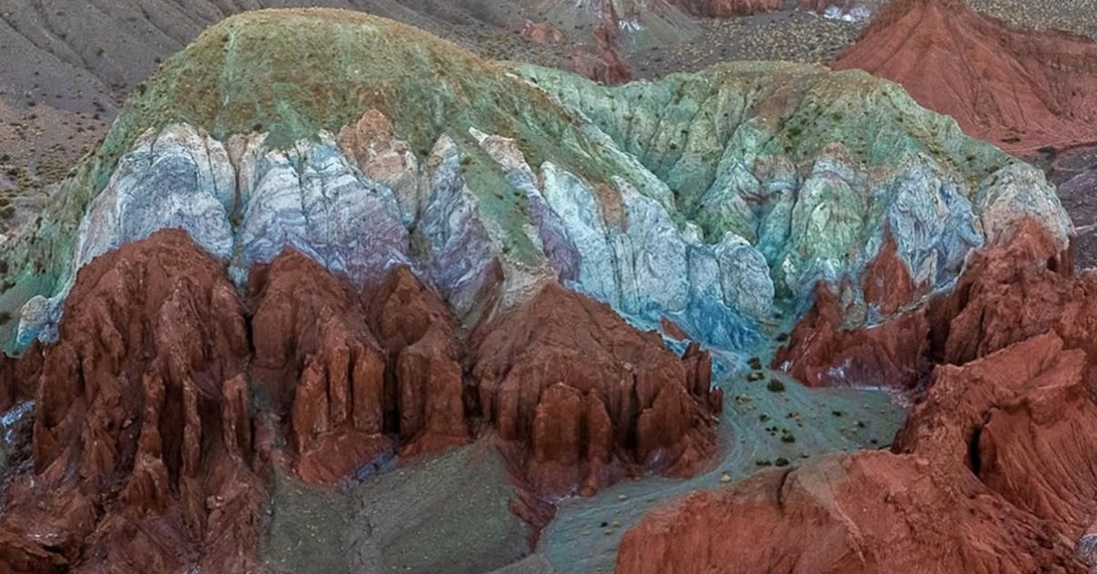](https://blog.nayararesorts.com/mars-atacama-final-frontier-of-travel)
## [Why the Atacama Desert is Mars on Earth](https://blog.nayararesorts.com/mars-atacama-final-frontier-of-travel)
Sep 27, 2025
[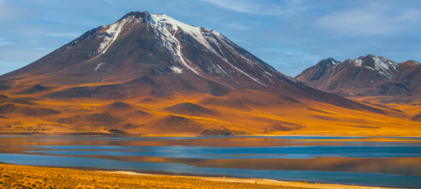](https://blog.nayararesorts.com/puritama-and-piedras-rojas-the-engine-under-the-desert)
## [Puritama and Piedras Rojas: The Engine Under the Desert](https://blog.nayararesorts.com/puritama-and-piedras-rojas-the-engine-under-the-desert)
Jul 6, 2026
[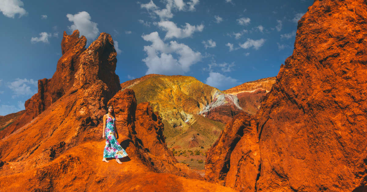](https://blog.nayararesorts.com/nayara-alto-atacama-exploring-an-alien-landscape-from-the-lap-of-luxury)
## [The Atacama Desert: At the Edge of Habitability](https://blog.nayararesorts.com/nayara-alto-atacama-exploring-an-alien-landscape-from-the-lap-of-luxury)
Jan 8, 2024
- [Nayara Gardens](https://nayaragardens.com/)
- [Nayara Springs](https://nayarasprings.com/)
- [Nayara Tented Camp](https://nayaratentedcamp.com/)
- [Nayara Alto Atacama](https://www.altoatacama.com/)
- [Nayara Hangaroa](https://www.hangaroa.cl/)
- [Nayara Bocas Del Toro](https://bocasbali.com/)
-
-
-
-
-
-
- [Costa Rica +506 2479-1600](tel:+50624791600)
- [US +1 844-865-2002](tel:+18883322961)
- [UK +44 1617918120](tel:+441617918120)
```json
{
"@context" : "https://schema.org",
"@type" : "BlogPosting",
"author" : {
"@type" : "Person",
"name" : "Albert Ghitis",
"url" : "https://blog.nayararesorts.com/author/albert-ghitis-1"
},
"dateModified" : "2026-10-03T02:53:32.928Z",
"datePublished" : "2026-10-03T02:34:05.000Z",
"headline" : "The Uyuni Adventure: From Desert to Salt",
"image" : [ "https://blog.nayararesorts.com/hubfs/Screenshot%202026-10-02%20at%2010.49.29%20PM.jpg" ],
"mainEntityOfPage" : {
"@id" : "https://blog.nayararesorts.com/the-uyuni-adventure-from-desert-to-salt",
"@type" : "WebPage"
},
"publisher" : {
"@type" : "Organization",
"logo" : {
"@type" : "ImageObject",
"url" : "https://blog.nayararesorts.com/hubfs/Captura%20de%20pantalla%202023-04-13%20a%20la(s)%2010.55.13.png"
},
"name" : "Nayara Resorts"
}
}
```
```json
{
"@context" : "https://schema.org",
"@type" : "BlogPosting",
"articleSection" : "Experiences",
"author" : {
"@type" : "Person",
"jobTitle" : "Head of Digital Marketing",
"name" : "Albert Ghitis"
},
"dateModified" : "2025-09-26",
"datePublished" : "2025-09-26",
"description" : "The Atacama Desert is Earth's closest analog to Mars, used by NASA and the ESA to test rovers. Explore why scientists study it, what it reveals about life beyond Earth, and how Nayara Alto Atacama places guests inside that landscape.",
"headline" : "Mars and the Atacama: The Final Frontier of Travel",
"image" : "https://23160175.fs1.hubspotusercontent-na1.net/hubfs/23160175/2-Sep-26-2025-06-22-49-1914-AM.png",
"keywords" : "Atacama Desert, Mars analog, NASA, astrobiology, stargazing, Nayara Alto Atacama, space tourism, panspermia, Fermi paradox, regenerative travel",
"mainEntityOfPage" : {
"@id" : "https://blog.nayararesorts.com/mars-atacama-final-frontier-of-travel",
"@type" : "WebPage"
},
"publisher" : {
"@type" : "Organization",
"logo" : {
"@type" : "ImageObject",
"url" : "https://nayararesorts.com/logo.png"
},
"name" : "Nayara Resorts",
"url" : "https://nayararesorts.com"
},
"speakable" : {
"@type" : "SpeakableSpecification",
"cssSelector" : [ "#quick-answer" ]
}
}
```
```json
{
"@context" : "https://schema.org",
"@type" : "BreadcrumbList",
"itemListElement" : [ {
"@type" : "ListItem",
"item" : "https://nayararesorts.com",
"name" : "Nayara Resorts",
"position" : 1
}, {
"@type" : "ListItem",
"item" : "https://blog.nayararesorts.com",
"name" : "Journal",
"position" : 2
}, {
"@type" : "ListItem",
"item" : "https://blog.nayararesorts.com/mars-atacama-final-frontier-of-travel",
"name" : "Mars and the Atacama: The Final Frontier of Travel",
"position" : 3
} ]
}
```
```json
{
"@context" : "https://schema.org",
"@type" : "FAQPage",
"mainEntity" : [ {
"@type" : "Question",
"acceptedAnswer" : {
"@type" : "Answer",
"text" : "The Atacama's extreme aridity, high ultraviolet radiation, minimal moisture, and soil chemistry closely resemble conditions detected on Mars. These similarities make it one of the closest terrestrial analogs used in planetary research."
},
"name" : "Why is the Atacama compared to Mars?"
}, {
"@type" : "Question",
"acceptedAnswer" : {
"@type" : "Answer",
"text" : "Salt flats, volcanic plateaus, mineral basins, and wind-shaped terrain produce landforms that mirror Mars surface geology and sedimentary structures."
},
"name" : "What makes the Atacama's landscape Mars-like?"
}, {
"@type" : "Question",
"acceptedAnswer" : {
"@type" : "Answer",
"text" : "Yes. NASA and other space agencies use the Atacama as a testbed for astrobiology tools and rover technology because its desiccated soils and surface chemistry provide a proxy for Martian exploration conditions."
},
"name" : "Do scientists use the Atacama for space research?"
}, {
"@type" : "Question",
"acceptedAnswer" : {
"@type" : "Answer",
"text" : "High elevation, low atmospheric moisture, minimal cloud cover, and negligible light pollution create some of the clearest night skies on Earth, making the desert ideal for advanced astronomical research."
},
"name" : "Why are observatories located in the Atacama?"
}, {
"@type" : "Question",
"acceptedAnswer" : {
"@type" : "Answer",
"text" : "Studies of microbes, salts, and sub-surface habitats in the Atacama help scientists define the limits of life on Earth and refine how they search for life on other planets."
},
"name" : "How does the Atacama inform our understanding of life in extreme conditions?"
}, {
"@type" : "Question",
"acceptedAnswer" : {
"@type" : "Answer",
"text" : "This article reframes travel as a way to engage responsibly with extreme environments and to appreciate how Earth's systems function at their boundaries, with Nayara Alto Atacama as a basecamp for experiencing it firsthand."
},
"name" : "How does this connect travel and science?"
} ]
}
```